Because the main objective of a boundary survey is to determine the location of land ownership lines, the initial phase includes land records research. This enables us to understand the original description of the parcel, as well as determine rights associated with adjoining parcels. The next phase of the boundary survey involves a thorough field reconnaissance for the purpose of uncovering any boundary evidence, such as iron pipes or rods, monuments, walls, fences etc. This is a physical investigation of the parcel, and requires a keen knowledge of the types of evidence, land use patterns and local history. A field survey is then conducted to locate the evidence uncovered during the reconnaissance. A preliminary plan of the survey is then drafted. The next step involves analyzing the relationship of the found, physical evidence with the pre determined “record boundaries”.
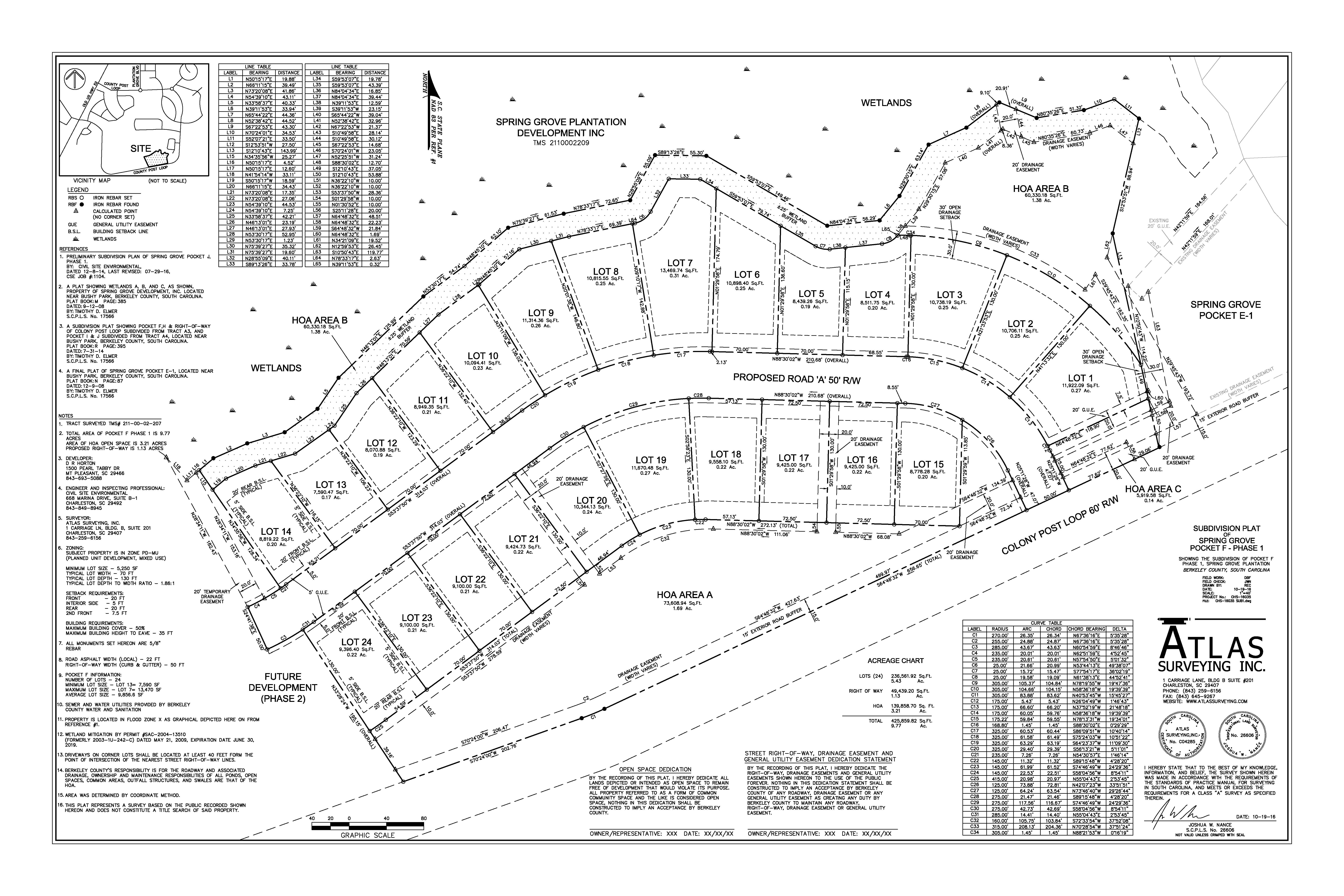
Based on our thorough knowledge of deeds, evidence, and boundary retracement principles, we make determinations on the reliability of existing corners, as well as the replacement of missing corners. A final Boundary Survey Plat is prepared, displaying the results of the survey, and affixed with a professional land surveyors seal and signature.
Contact Atlas Surveying, Inc. today to get started on your boundary survey or subdivision survey.

