
Wetland and OCRM Delineations
What are Wetland & OCRM Delineations?
Wetland delineation is the process of identifying and marking the boundaries of wetlands within a property, based on established federal, state, and local guidelines. This delineation is essential for accurately determining the presence and extent of wetlands, which is crucial for regulatory compliance and permitting related to land development and environmental conservation.

Why Do You Need a Wetland or OCRM Delineation?
If your property includes or borders potential wetland areas, wetland delineation is critical in order to comply with environmental regulations, secure necessary permits, and avoid potential legal complications. Accurate wetland delineation supports informed planning, helps protect sensitive ecosystems, and ensures compliance with federal, state, and local development standards.
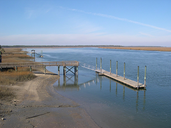
By law, the critical areas along the Atlantic Ocean, including coastal waters, tidelands, and beach/dune systems, fall under the direct jurisdiction of DHEC-OCRM for permitting any alterations. Atlas Surveying also specializes in OCRM delineations, identifying and accurately surveying critical habitat lines for properties adjoining saltwater and brackish environments.
Key Components of Wetland & OCRM Delineations
From field assessment to comprehensive regulatory documentation
-
Detailed Field Assessment:
Qualified wetland scientists perform an on-site evaluation to establish and accurately mark wetland boundaries.
-
Field Location:
Surveyors precisely locate and map delineated wetlands using advanced mapping-grade GPS technology and traditional robotic surveying equipment, ensuring accurate representation on surveys and permitting documents.
-
Comprehensive Delineation Plat:
CAD team prepares a detailed plat clearly indicating wetland boundaries, jurisdictional areas, and critical environmental setbacks as required by regulatory agencies.
How to Request Wetland & OCRM Delineations from Atlas Surveying
To request a wetland delineation, please provide the following:
Property address and description of property
Purpose of delineation (development permitting, environmental compliance, property assessment, etc.)
Contact information for authorization and payment
Necessary permissions for property access, if applicable
Why Choose Atlas Surveying for Your Wetland & OCRM Delineations?
With over 20+ years in the Lowcountry, Atlas Surveying offers specialized local expertise in environmental surveying, providing precise wetland delineations that facilitate regulatory compliance and streamline your permitting process. Our experienced team collaborates closely with environmental professionals to ensure rapid and accurate results. Using precise mapping technology, we deliver reliable, detailed delineation plats to support informed decision-making and efficient project planning.
These delineations move and expire over time. Contact Atlas Surveying today and trust our knowledgeable professionals to expertly guide your wetland delineation needs.
Frequently Asked Questions
Get the answers you need to move forward with confidence